MP Board Solutions for Class 9 Geography Chapter 3 – Drainage
MP Board Solutions for Class 9 Geography Chapter 3 – Drainage are essential for understanding India’s river systems and water flow patterns in the MPBSE curriculum. These well-structured answers help students grasp topics like the Ganga and Brahmaputra river systems, Peninsular rivers, lakes, and water conservation. Designed as per the latest syllabus, these solutions strengthen conceptual clarity and improve exam preparation. Ideal for revision and practice, they enhance analytical skills and map knowledge, making them a valuable study tool for scoring well in Class 9 Social Science exams.
MP Board Solutions For Class 9 Geography – Drainage – Exercise Images
Experience Geography Like Never Before – With AR!
Understanding Drainage is now more exciting and immersive! With the NAITRI App, you can explore complex geography concepts through Augmented Reality (AR). See rivers flow from their sources, basins form, and water systems come alive — right in front of you. Our AR-powered lessons make learning interactive, 3D, and fun, helping you retain concepts better and enjoy every topic.


Visualize . Interact . Understand . The future of learning is here
Drainage – Important Questions with Answers
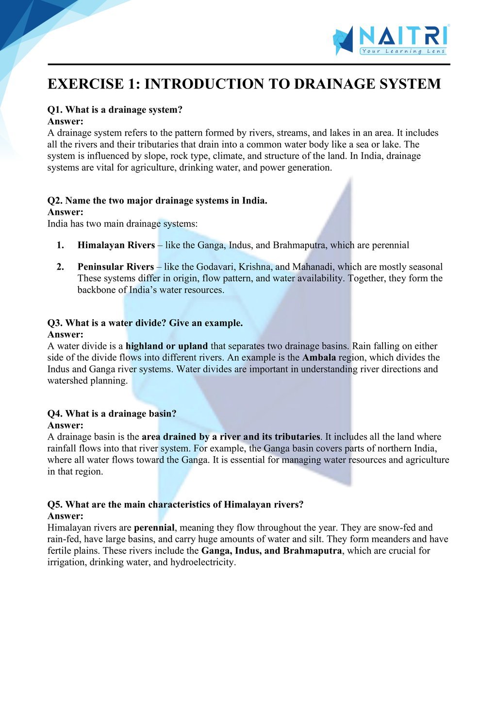
1. What is a drainage system?
Answer: A drainage system refers to the network of rivers, streams, and water bodies that collect and flow surface water from a particular area into larger water bodies like seas or oceans.
2. Name the two major drainage systems of India.
Answer: The two main drainage systems in India are the Himalayan rivers (perennial, snow-fed) and the Peninsular rivers (mostly rain-fed and seasonal in nature).
3. Name any two Himalayan rivers and two Peninsular rivers.
Answer: Himalayan rivers: Ganga and Brahmaputra.
Peninsular rivers: Godavari and Krishna.
4. What is the difference between a river basin and a watershed?
Answer: A river basin is a large area drained by a river and its tributaries. A watershed is a smaller area of land where all water drains to a common outlet.
5. Why are the Himalayan rivers perennial?
Answer: Himalayan rivers are perennial because they are fed by both glacial melt and rainfall, ensuring continuous flow throughout the year.
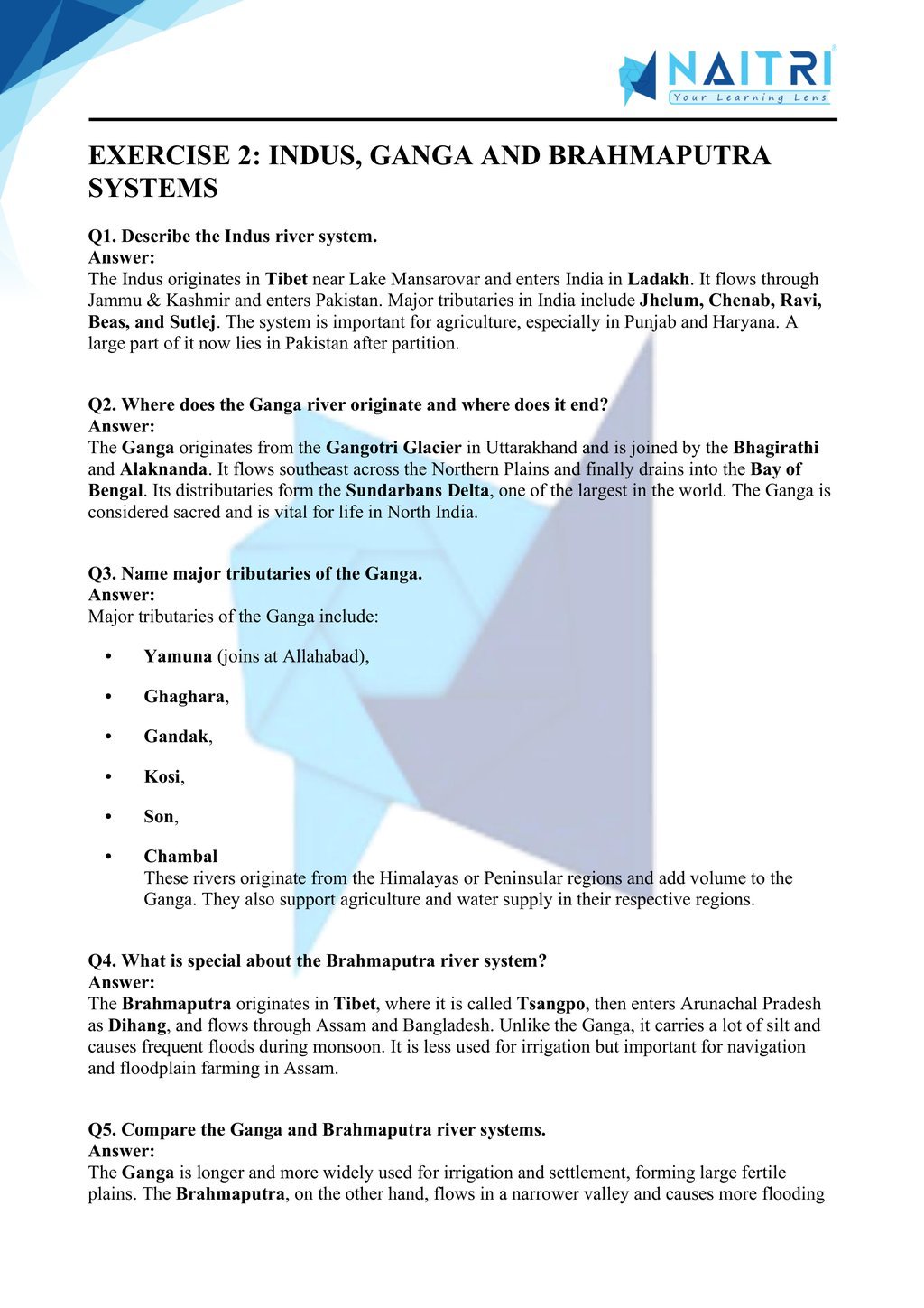
6. Explain the origin and course of the River Ganga.
Answer: The Ganga originates from the Gangotri Glacier in Uttarakhand as Bhagirathi, joins with Alaknanda at Devprayag, flows through northern plains, and finally drains into the Bay of Bengal.
7. Name the tributaries of the River Ganga.
Answer: Major tributaries include Yamuna, Ghaghara, Gandak, Kosi, Chambal, and Son. These rivers join the Ganga from both its left and right banks.
8. Describe the origin of the River Brahmaputra.
Answer: The Brahmaputra originates from the Tibet Plateau as Tsangpo, enters India through Arunachal Pradesh as the Dihang, and flows through Assam and Bangladesh into the Bay of Bengal.
9. How is the Brahmaputra different from the Ganga in terms of sediment?
Answer: The Brahmaputra carries much more silt and causes extensive flooding in Assam during monsoon due to its high sediment load and braided channels.
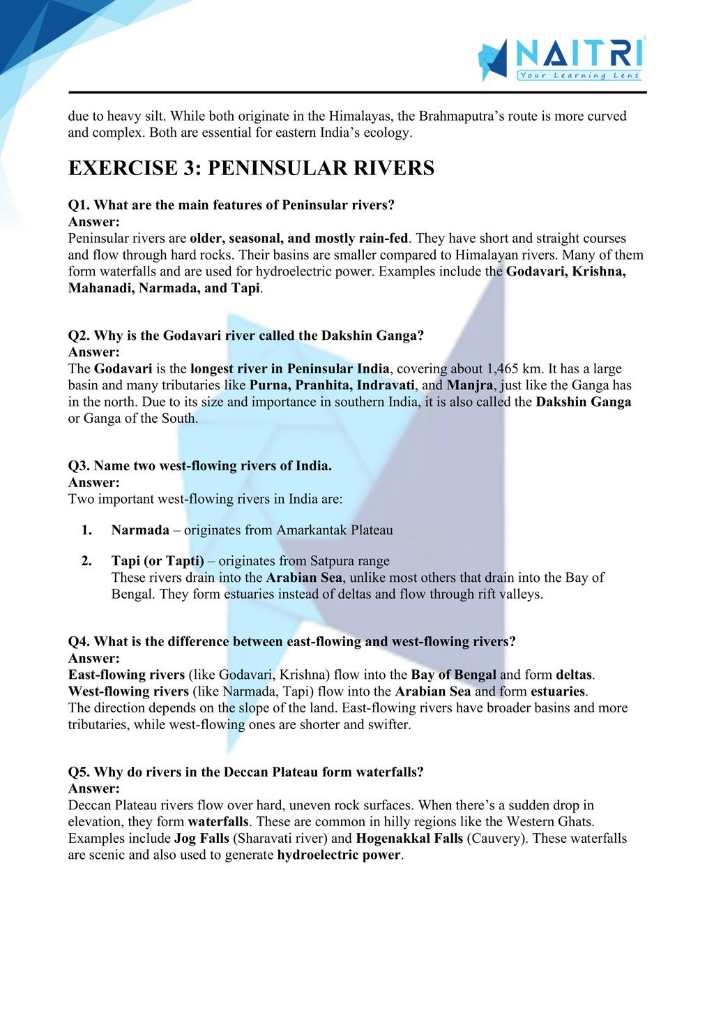
10. Name three major east-flowing rivers of Peninsular India.
Answer: Godavari, Krishna, and Mahanadi are major east-flowing rivers of Peninsular India that drain into the Bay of Bengal.
11. Name two west-flowing rivers and their significance.
Answer: The Narmada and Tapi are west-flowing rivers that drain into the Arabian Sea. They form estuaries instead of deltas and have narrow, rocky valleys.
12. What is a river delta? Give an example.
Answer: A river delta is a fan-shaped landform formed at the mouth of a river by deposition of sediments. Example: The Sundarbans Delta, formed by Ganga and Brahmaputra.
13. Differentiate between a delta and an estuary.
Answer: A delta is formed by deposition of silt at the river mouth (e.g., Ganga), while an estuary is a deep, funnel-shaped river mouth with no sediment deposit (e.g., Narmada).
14. What is the significance of the Ganga-Brahmaputra delta?
Answer: It is the world’s largest delta, highly fertile, supports dense population, and is rich in biodiversity including the Sundarbans mangrove forest and Royal Bengal Tiger habitat.
15. Describe the drainage pattern formed by rivers.
Answer: Drainage patterns are shaped by the slope and structure of the land. Common patterns include dendritic, radial, trellis, and rectangular, each with unique stream arrangements.
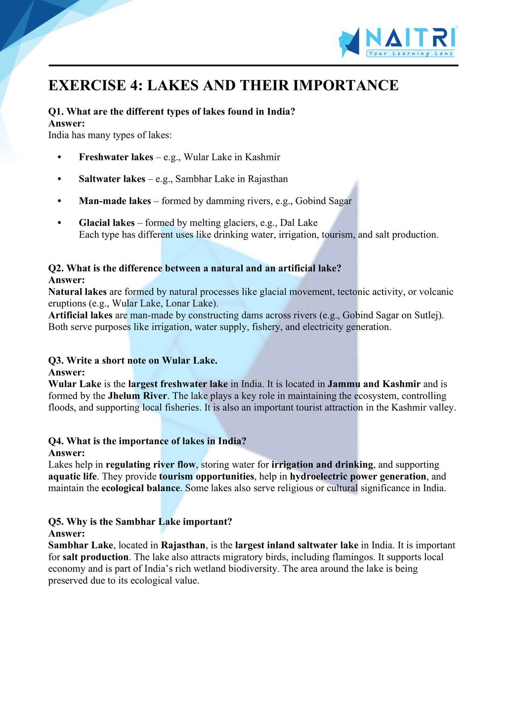
16. What is a lake? Mention two types of lakes.
Answer: A lake is a water body surrounded by land. Lakes can be natural (e.g., Wular Lake) or artificial (e.g., Gobind Sagar). They help in irrigation, fishing, and tourism.
17. What are the economic benefits of lakes?
Answer: Lakes help in irrigation, drinking water supply, hydroelectricity generation, fish farming, and tourism. They also moderate the local climate and recharge groundwater levels.
18. Why is the Godavari River called the ‘Dakshin Ganga’?
Answer: The Godavari is the longest Peninsular river and flows eastward across central and southern India, covering a vast basin—similar to how the Ganga serves the north.
19. What is the role of tributaries in a river system?
Answer: Tributaries are smaller rivers that join a main river. They increase the water volume, enrich soil through silt, and expand the drainage basin, enhancing agricultural potential.
20. Name two inland drainage rivers of India.
Answer: Luni (in Rajasthan) and Ghaggar are examples of rivers that do not reach the sea. They either evaporate or disappear in desert sand or inland basins.
21. Why are rivers considered lifelines of India?
Answer: Rivers support agriculture, transportation, drinking water, electricity, and livelihoods. They shape Indian culture and history, and sustain both human and ecological life.
22. How do rivers contribute to soil fertility?
Answer: Rivers deposit alluvial soil during floods, especially in plains. This soil is rich in nutrients and supports crops like wheat, rice, and sugarcane.
23. What are the causes of river pollution in India?
Answer: Untreated sewage, industrial waste, religious offerings, and agricultural runoff lead to pollution of rivers like Ganga and Yamuna, threatening aquatic life and human health.
24. What steps has the government taken to clean rivers?
Answer: Projects like Namami Gange, Yamuna Action Plan, and River Rejuvenation Programs aim to clean rivers by building sewage treatment plants and raising public awareness.
25. How can citizens help conserve rivers?
Answer: Citizens can help by avoiding waste dumping, planting trees along riverbanks, saving water, and supporting eco-friendly practices and government conservation efforts.
Drainage focuses on India’s major river systems and their role in shaping the country’s geography and economy. Students learn about the Himalayan rivers (like the Ganga and Brahmaputra) and Peninsular rivers (like the Godavari and Narmada), their origins, tributaries, and basins. The chapter also covers lakes and the importance of water conservation. It highlights the vital link between rivers, agriculture, hydroelectricity, and everyday life in India.
Download Naitri App
Easy, Visual Learning — Right on Your Phone
Learn with Augmented Reality! The Naitri app makes CBSE and MP Board concepts interactive and fun — even in low-resource settings. Watch lessons, complete homework, take tests, and track progress — all in one place. Anytime. Anywhere.
Available on