MP Board Solutions for Class 9 Geography Chapter 1 – India – Size and Location
MP Board Solutions for Class 9 Geography Chapter 1 – India: Size and Location are essential for understanding foundational Geography concepts in the MPBSE curriculum. These well-structured answers help students grasp topics like India’s geographical extent, its strategic position, and importance in global and regional contexts. Designed as per the latest syllabus, these solutions strengthen conceptual clarity and improve exam preparation. Ideal for revision and practice, they promote geographic awareness and critical thinking, making them a valuable study tool for scoring well in Class 9 Social Science exams.
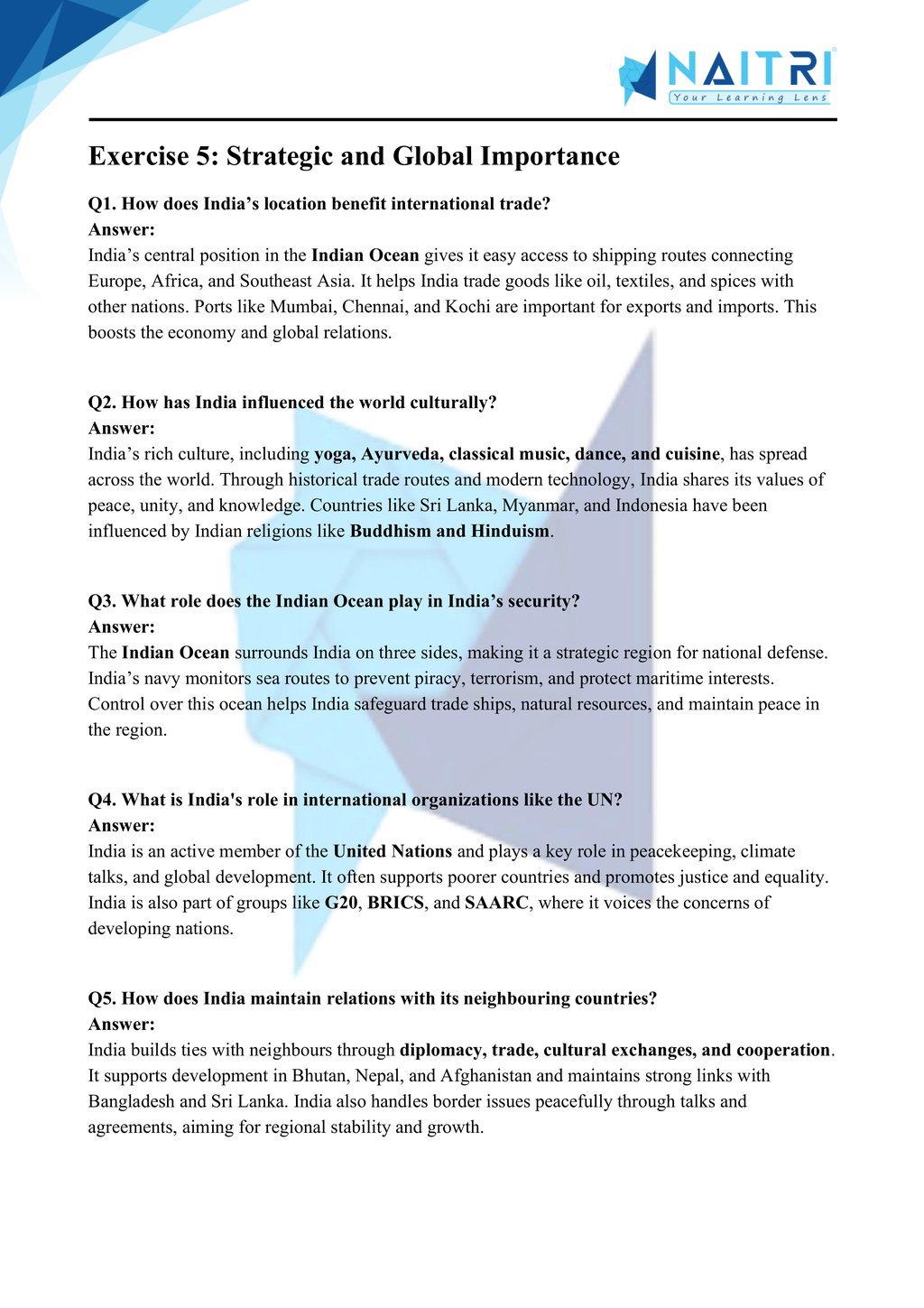
MP Board Solutions For Class 9 Geography – India: Size and Location – Exercise Images
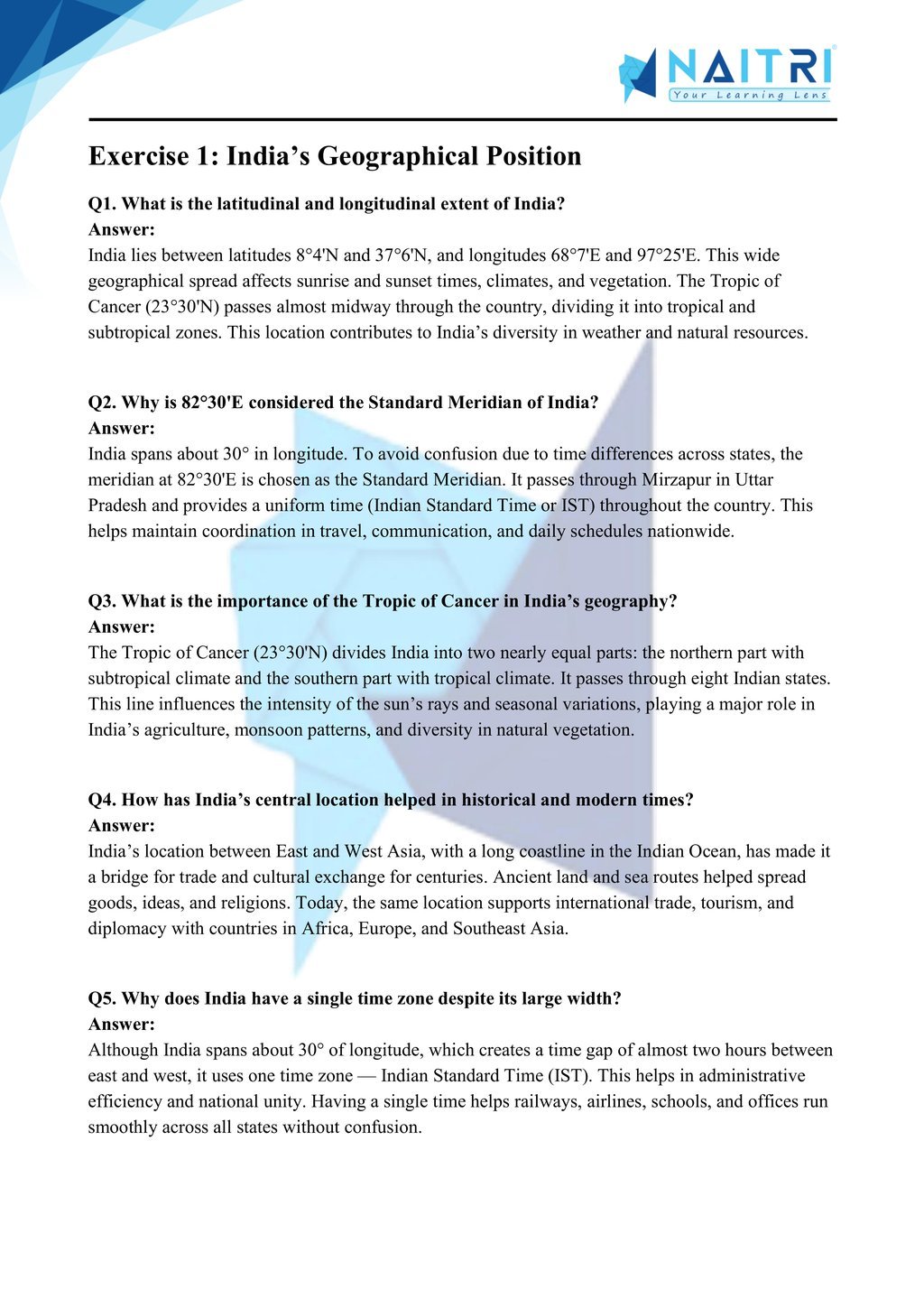
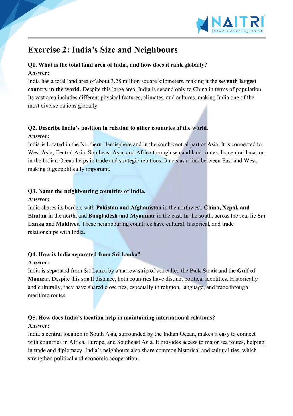
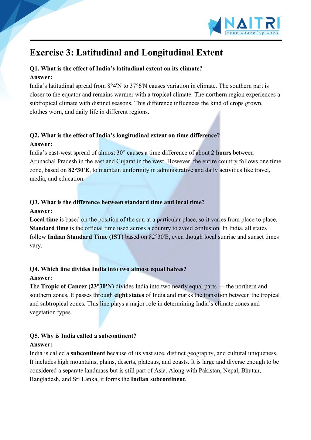
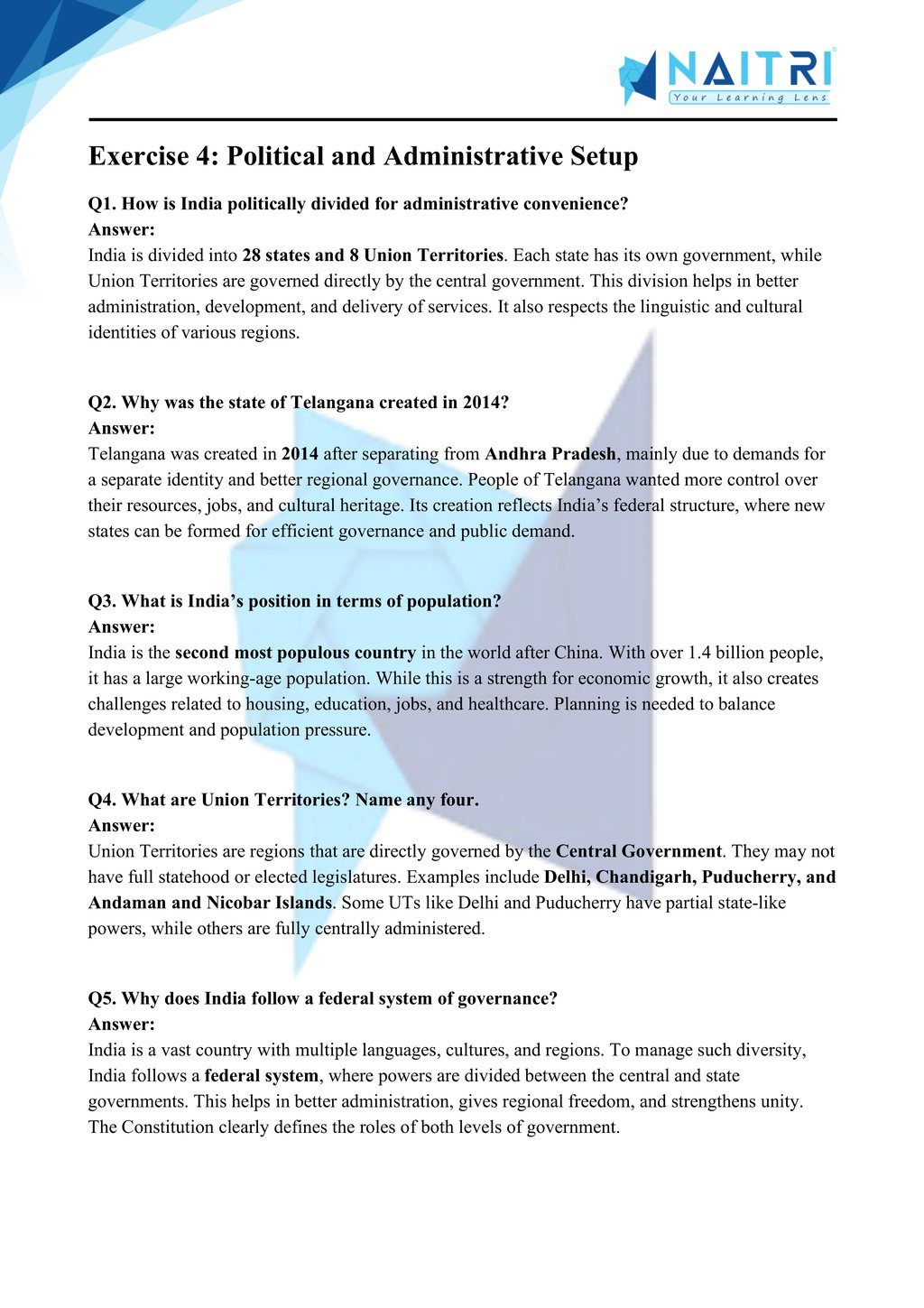
Experience Geography Like Never Before – With AR!
Understanding India – Size and Location is now more exciting and immersive! With the NAITRI App, you can explore complex geography concepts through Augmented Reality (AR). See India’s location on the globe, latitudes and longitudes align, and borders stretch across digital maps — right in front of you. Our AR-powered lessons make learning interactive, 3D, and fun, helping you retain concepts better and enjoy every topic.

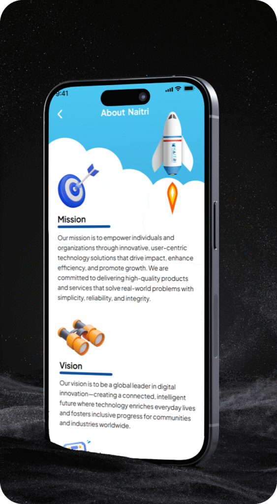

Visualize . Interact . Understand . The future of learning is here
India: Size and Location – Important Questions with Answers
1. Where is India located on the world map?
Answer: India is located entirely in the Northern Hemisphere. It lies between latitudes 8°4’N and 37°6’N and longitudes 68°7’E and 97°25’E. The Tropic of Cancer (23°30’N) divides it into two halves.
2. What is the total land area of India? How does it rank globally?
Answer: India has a total land area of 3.28 million square kilometers. It ranks seventh in terms of area in the world, following countries like Russia, Canada, and the USA.
3. What is the significance of the Indian Ocean for India?
Answer: The Indian Ocean provides India a strategic central location, allowing it to maintain strong maritime trade links with Africa, West Asia, and Southeast Asia. It is also why India is called a subcontinent.
4. Why is the time lag between Arunachal Pradesh and Gujarat about 2 hours?
Answer: Due to India’s wide longitudinal extent (about 30°), there is a time lag of nearly 2 hours between Arunachal Pradesh in the east and Gujarat in the west.
5. What is the standard meridian of India and why is it chosen?
Answer: The standard meridian of India is 82°30′E, which passes through Mirzapur in Uttar Pradesh. It provides a uniform time for the whole country, known as Indian Standard Time (IST).
6. Explain the importance of India’s central location.
Answer: India’s central location between East and West Asia makes it a cultural and commercial bridge. It facilitates sea trade routes through the Indian Ocean and has shaped India’s historical interactions.
7. Name the countries that share land boundaries with India.
Answer: India shares its land boundaries with Pakistan, Afghanistan, China, Nepal, Bhutan, Bangladesh, and Myanmar. These countries lie to the northwest, north, and east of India.
8. Name the neighboring island countries of India.
Answer: The island countries located near India are Sri Lanka to the south and Maldives to the southwest. India shares strong historical and cultural ties with both.
9. What is the latitudinal and longitudinal extent of India?
Answer: India stretches from 8°4’N to 37°6’N latitude and 68°7’E to 97°25’E longitude, giving it a vast spatial span and resulting in varying climates and daylight durations.
10. What is the length of India’s coastline and why is it important?
Answer: India’s coastline is about 7,516.6 km long, including the mainland and island territories. It plays a vital role in trade, fishing, tourism, and maritime defense.
11. How has India’s location helped in the exchange of ideas?
Answer: India’s location at the crossroads of major ancient trade routes helped in the exchange of goods, ideas, religions, and culture with West Asia, Europe, and Southeast Asia.
12. What role did the Suez Canal play in enhancing India’s importance?
Answer: The opening of the Suez Canal in 1869 reduced the sea distance between India and Europe by about 7,000 km, increasing India’s strategic and trade importance.
13. Explain how India’s location affects its climate.
Answer: India’s vast latitudinal extent and position near the Tropic of Cancer result in tropical and subtropical climates, with temperature and rainfall varying across regions.
14. Why is India called a subcontinent?
Answer: India is called a subcontinent because it has distinct geographical features, large landmass, and cultural diversity, making it almost self-contained like a continent within Asia.
15. Which Indian states lie on the Tropic of Cancer?
Answer: The Tropic of Cancer passes through 8 Indian states: Gujarat, Rajasthan, Madhya Pradesh, Chhattisgarh, Jharkhand, West Bengal, Tripura, and Mizoram, dividing India into two climatic zones.
16. Mention any two advantages of India’s vast land boundary.
Answer: (1) Facilitates regional cooperation and connectivity through land trade routes.
(2) Promotes cultural exchange and strategic relations with neighboring countries.
17. How does India’s east-west extent influence time zones?
Answer: India has a wide east-west longitudinal spread, causing a time difference of about two hours, but to avoid confusion, a single time zone based on 82°30′E is followed.
18. Name the southernmost point of the Indian Union.
Answer: The southernmost point of India is Indira Point in the Nicobar Islands. However, it was submerged during the 2004 tsunami but remains a geographic reference.
19. How does India’s location affect its biodiversity?
Answer: Due to its central location, diverse topography, and climatic zones, India is home to a wide range of flora and fauna, making it one of the richest in biodiversity.
20. What is the importance of the Andaman and Nicobar Islands?
Answer: Located in the Bay of Bengal, they enhance India’s strategic defense, control major sea lanes, support rich biodiversity, and attract tourism and research opportunities.
21. Why is Indian time calculated from 82°30′E and not 90°E?
Answer: 82°30′E is centrally located and avoids extreme time differences across the country. Choosing 90°E would favor eastern India and cause early sunset in the western states.
22. Explain India’s cultural diversity in relation to its location.
Answer: India’s geographical position connected it with various civilizations, leading to a fusion of languages, religions, architecture, and traditions, contributing to its rich cultural diversity.
23. How is India’s location advantageous for trade?
Answer: Its position between East and West Asia and along key sea routes enables India to act as a major trade hub, facilitating maritime trade with Africa, Europe, and Southeast Asia.
24. What is the northernmost point of India?
Answer: The northernmost point is located in the Siachen Glacier in the union territory of Ladakh, close to the India-China border, making it strategically and geographically important.
25. How does India’s vast latitudinal extent influence agriculture?
Answer: The diverse climate due to varying latitudes supports multiple cropping seasons and a variety of crops like wheat, rice, spices, and tea, making agriculture a dominant occupation.
India – Size and Location introduces students to India’s geographical setting in the world. It highlights India’s latitudinal and longitudinal extent, its time zone, and its position relative to Asia and the Indian Ocean. The chapter explains how India’s vast size and central location influence its cultural diversity, trade relationships, and strategic importance. It sets the stage for understanding India’s physical and political geography in global context.
Download Naitri App
Easy, Visual Learning — Right on Your Phone
Learn with Augmented Reality! The Naitri app makes CBSE and MP Board concepts interactive and fun — even in low-resource settings. Watch lessons, complete homework, take tests, and track progress — all in one place. Anytime. Anywhere.
Available on


