NCERT Solutions for Class 9 Geography Chapter 2 – Physical Features of India
NCERT Solutions for Class 9 Geography Chapter 2 – Physical Features of India are essential for understanding key geographical divisions in the CBSE curriculum. These well-structured answers help students grasp topics like the Himalayan Mountains, Northern Plains, Peninsular Plateau, Coastal Plains, and Islands. Designed as per the latest syllabus, these solutions strengthen conceptual clarity and improve exam preparation. Ideal for revision and practice, they encourage spatial understanding and map-based learning, making them a valuable study tool for scoring well in Class 9 Social Science exams.
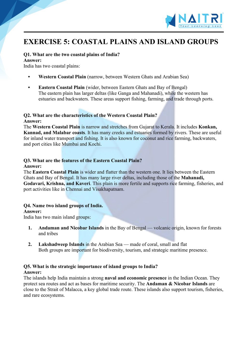
NCERT Solutions For Class 9 Geography – Physical Features of India – Exercise Images
Experience Science Like Never Before – With AR!
Understanding Physical Features of India is now more exciting and immersive! With the NAITRI App, you can explore complex geography concepts through Augmented Reality (AR). Watch the Himalayas rise, plains expand, and plateaus form layer by layer — right in front of you. Our AR-powered lessons make learning interactive, 3D, and fun, helping you retain concepts better and enjoy every topic.


Visualize . Interact . Understand . The future of learning is here
Physical Features of India – Important Questions with Answers
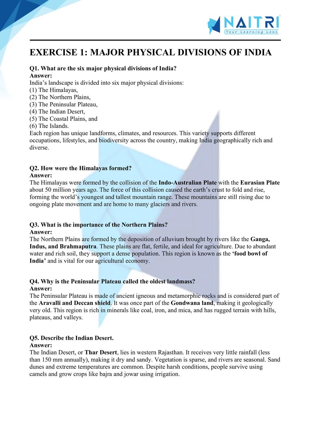
1. What are the six major physiographic divisions of India?
Answer: India is divided into six major physical features: (1) The Himalayan Mountains, (2) The Northern Plains, (3) The Peninsular Plateau, (4) The Indian Desert, (5) The Coastal Plains, and (6) The Islands.
2. What are fold mountains? Name one such range in India.
Answer: Fold mountains are formed when tectonic plates collide and fold up the Earth’s crust. The Himalayas are young fold mountains formed by the convergence of the Indian and Eurasian plates.
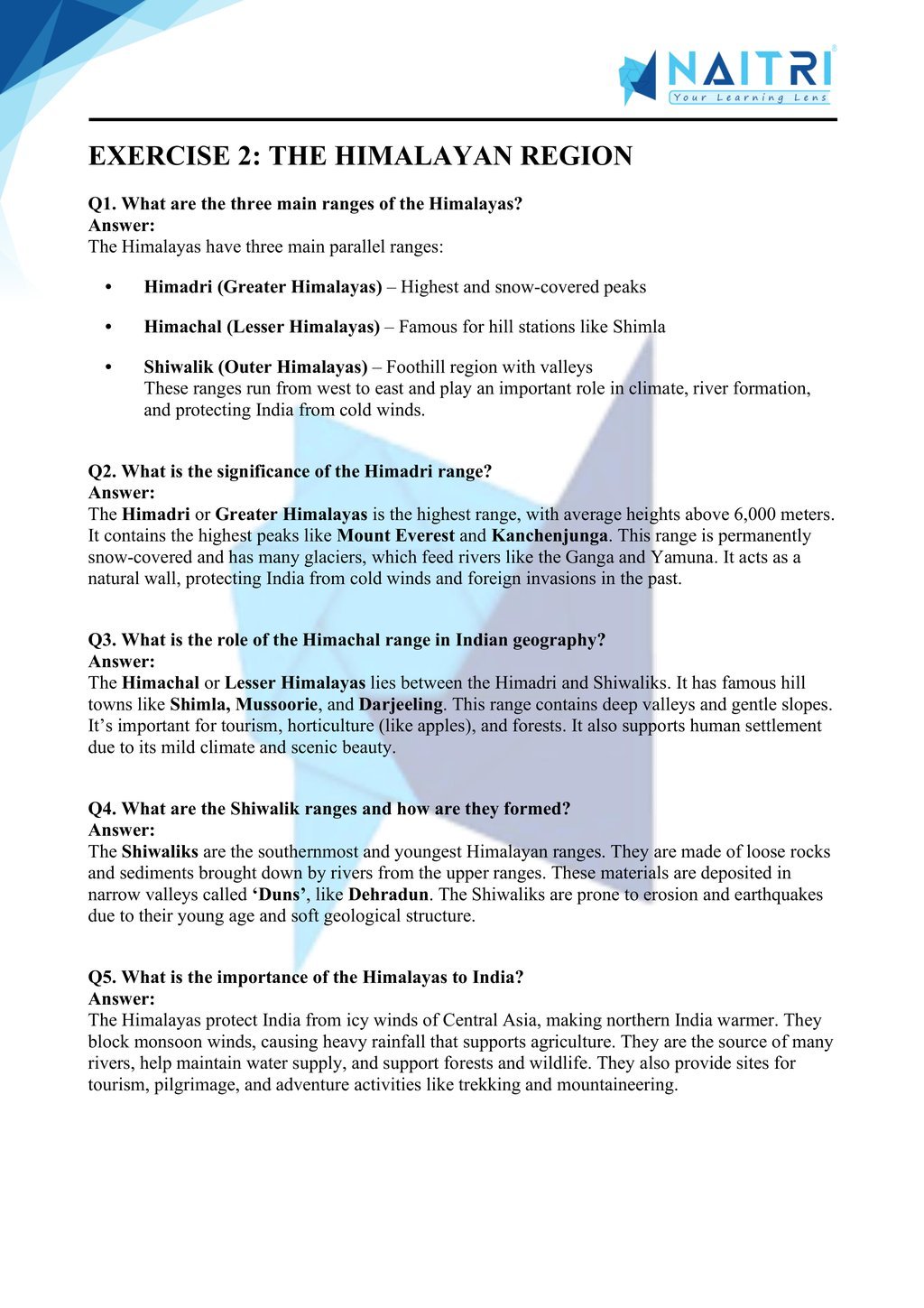
3. How are the Himalayas divided regionally?
Answer: The Himalayas are divided into three parallel ranges: the Himadri (Greater Himalayas), the Himachal (Lesser Himalayas), and the Shiwaliks (Outer Himalayas), each with unique features and elevations.
4. Mention any two features of the Himadri range.
Answer: The Himadri is the northernmost and highest range, with average heights above 6,000 meters. It contains the most prominent peaks like Mount Everest and Kanchenjunga.
5. What is the importance of the Northern Plains of India?
Answer: The Northern Plains are fertile, flat lands formed by alluvial deposits of rivers like the Ganga and Brahmaputra. They are ideal for agriculture and have dense population and infrastructure.
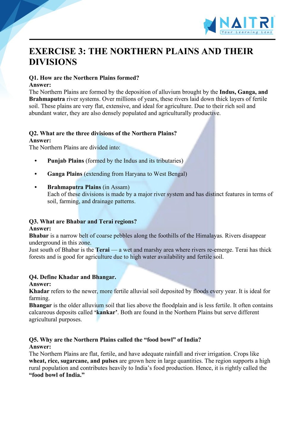
6. How are the Northern Plains divided based on rivers?
Answer: They are divided into Punjab Plains (Indus River), Ganga Plains, and Brahmaputra Plains, based on the river systems that formed them and their location across states.
7. What is the difference between Bhabar and Terai?
Answer: Bhabar is a narrow belt of pebbles along the foothills of Himalayas where streams disappear. Terai lies south of Bhabar, where streams re-emerge, making the area swampy and fertile.
8. Define the Peninsular Plateau.
Answer: The Peninsular Plateau is an ancient landmass made of hard crystalline rocks. It is the most stable part of the Indian landmass, rich in minerals and with a rugged topography.
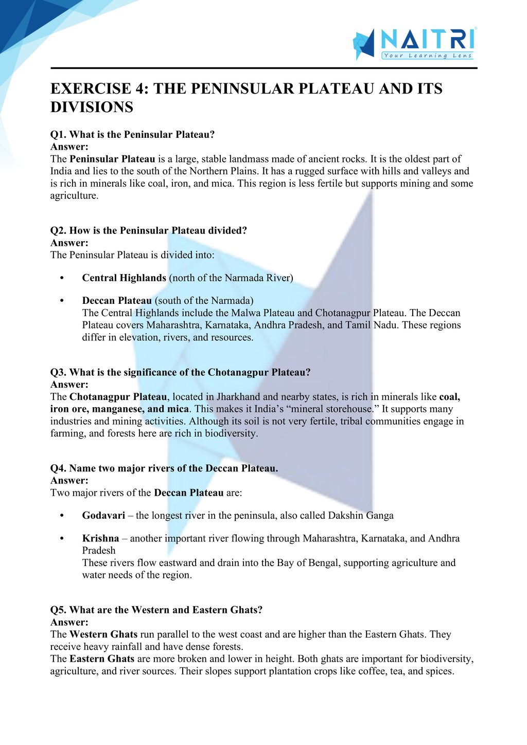
9. What are the two divisions of the Peninsular Plateau?
Answer: The Peninsular Plateau is divided into the Central Highlands (north of Narmada River) and the Deccan Plateau(south of Narmada River), both known for black soil and mineral wealth.
10. What are the characteristics of the Indian Desert?
Answer: The Indian Desert, also called the Thar Desert, lies in western Rajasthan. It has arid climate, sandy soil, very low rainfall (below 150 mm annually), and is sparsely populated.
11. Name any two landforms found in deserts.
Answer: Sand dunes (Barchans) and dry riverbeds (locally called ‘playas’ or ‘raisinis’) are common landforms in desert regions due to wind erosion and rare rainfall.
12. Differentiate between Eastern and Western Ghats.
Answer: Eastern Ghats are discontinuous, lower in height, and dissected by rivers. Western Ghats are continuous, higher, and have steeper slopes with high biodiversity and rainfall.
13. What is the significance of the Coastal Plains?
Answer: The Coastal Plains, divided into Eastern and Western coasts, are fertile, support agriculture and fishing, and house many important ports like Mumbai, Chennai, and Kochi for trade.
14. Name two important islands of India.
Answer: Andaman and Nicobar Islands in the Bay of Bengal and Lakshadweep Islands in the Arabian Sea are the two major island groups of India, with strategic and ecological importance.
15. How are the Andaman and Nicobar Islands formed?
Answer: These islands are volcanic in origin and are a chain of submerged mountains. Some of them are active volcanic islands, like Barren Island in the Andaman group.
16. What are coral islands? Give an example.
Answer: Coral islands are formed from accumulated coral deposits over time. The Lakshadweep Islands are examples of such coral atolls formed in the Arabian Sea.
17. How do physical features influence the lifestyle of people?
Answer: Mountainous regions promote tourism and terrace farming, plains support agriculture and dense population, plateaus offer mineral resources, and coastal areas encourage trade and fishing.
18. Why are the Himalayas important for India?
Answer: The Himalayas act as a climatic barrier protecting India from cold Central Asian winds, are the source of many rivers, and play a vital role in agriculture and biodiversity.
19. How are rivers important in shaping the Northern Plains?
Answer: Rivers like Ganga, Indus, and Brahmaputra carry alluvium from the mountains and deposit it in the plains, making the land fertile and supporting dense population and agriculture.
20. What do you understand by doabs?
Answer: Doabs are fertile lands between two rivers. For example, the region between Ganga and Yamuna is called the Doab, known for highly productive agriculture.
21. What are the important features of the Central Highlands?
Answer: Located north of Narmada River, Central Highlands include the Malwa Plateau and Bundelkhand region. They are rich in minerals and have uneven terrain and sparse vegetation.
22. Why is the Deccan Plateau important?
Answer: The Deccan Plateau is a rich source of minerals, has black soil for cotton farming, and includes important rivers like Godavari and Krishna which support agriculture in southern India.
23. What is the significance of the Western Coastal Plains?
Answer: They are narrow, have natural harbors like Mumbai and Mangaluru, and support fishing and maritime trade. The backwaters of Kerala are also part of the Western Coast.
24. What is the significance of the Eastern Coastal Plains?
Answer: The Eastern Coastal Plains are wider and have major rivers forming deltas (like the Godavari and Mahanadi deltas). They are highly fertile and support rice cultivation.
25. How were the Himalayas formed?
Answer: The Himalayas were formed due to the collision of the Indian Plate with the Eurasian Plate about 50 million years ago, leading to the folding and upliftment of the crust.
Physical Features of India explores the diverse landforms that make up the Indian subcontinent, including the Himalayas, the Northern Plains, the Peninsular Plateau, the Coastal Plains, and the Islands. The chapter explains how these features were formed through geological processes and how they influence human activities, agriculture, and settlement patterns. Understanding India’s physical diversity is key to comprehending regional development and natural resource distribution.
Download Naitri App
Easy, Visual Learning — Right on Your Phone
Learn with Augmented Reality! The Naitri app makes CBSE and MP Board concepts interactive and fun — even in low-resource settings. Watch lessons, complete homework, take tests, and track progress — all in one place. Anytime. Anywhere.
Available on


